Error loading page.
Try refreshing the page. If that doesn't work, there may be a network issue, and you can use our self test page to see what's preventing the page from loading.
Learn more about possible network issues or contact support for more help.

Follow That Map!

A First Book of Mapping Skills

ebook
1 of 1 copy available

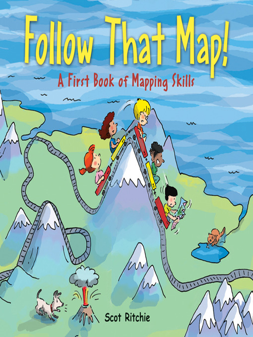
Follow That Map! is a mind-expanding adventure for the young and a unique way to introduce mapping concepts at the primary level and get kids started on the road to mastering this essential skill.

  • Creators

  • Publisher

  • Release date

  • Formats

  • Languages

  • Levels

  • Reviews

    • School Library Journal

      October 1, 2009
      Gr 3-5-In this clever introduction, Sally and her four friends are looking for her missing cat and dog. The simple text is accompanied by a colorful map that uses symbols to identify places such as the library. Next, the youngsters explore the park, and the map shows how to follow a route. They continue their search in the city, the countryside, and eventually across the world and the solar system. On the way, a different type of mapfor example, weather, topographical, and treasureis featured on each spread and explained. The idea works well for the first few pages but falls apart as the children go further and further afield. However, the information is solid, and readers will enjoy looking for the animals, who are hiding somewhere in each map. Back matter includes instructions for creating a map of a bedroom."Wendy Woodfill, Hennepin County Library, Minnetonka, MN"

      Copyright 2009 School Library Journal, LLC Used with permission.

    • Booklist

      March 15, 2009
      Preschool-G Sally and friends are playing in her backyard when they notice that her dog and cat, Max and Ollie, are missing. Determined to find them, they run through their neighborhood, the park, and the zoo; venture into the country and to a tropical island; and finally travel around the world and into space before locating the animals in the backyard. The fanciful story is less important than the overhead views of the search, which create maplike scenes of the children searching across land, sea, and space. Map-related information appears in bold type on each spread. Younger children will enjoy finding Ollie and Max in each cartoon-style picture, but older ones can pick up quite a bit about maps, including their purpose, use of symbols, and terminology, e.g., compass rose and legend. An appended project shows children how to create maps of their bedrooms.(Reprinted with permission of Booklist, copyright 2009, American Library Association.)

    • The Horn Book

      July 1, 2009
      Each double-page spread introduces a different skill or map type that Sally and her friends can use to find Max and Ollie, her missing pets. Boldface instructions explain each map. Readers will enjoy looking for the kids and pets in the cartoon illustrations, but may struggle to learn how to read a map from this book. Ind.

      (Copyright 2009 by The Horn Book, Incorporated, Boston. All rights reserved.)

Formats

  • OverDrive Read
  • PDF ebook

Languages

  • English

Levels

  • ATOS Level:3.5
  • Lexile® Measure:590
  • Interest Level:K-3(LG)
  • Text Difficulty:2-3

Loading